Zoning Ordinances Floodplains and Zoning

Hernando County is committed to protecting life, property, and natural resources by managing development in flood-prone areas. The County’s Flood Damage Prevention and Protection Ordinance works alongside the Florida Building Code to reduce flood risks, guide responsible construction, and help residents understand their property’s flood zone.

Zoning Ordinances Floodplains and Zoning

Flood Damage Prevention and Protection

The Hernando County Flood Damage Prevention and Protection Ordinance is utilized in coordination with the Florida Building Code to regulate development and activities in Special Flood Hazard Areas.

Identifying Flood Hazard Areas

The Forerunner Map can be used to help identify whether your property is located in a mapped Special Flood Hazard Area. The FEMA Flood Insurance Rate Map (FIRM) is the official map used in flood zone determinations.

Local Watershed Information

Hernando County also has local watershed information that may not appear on the FEMA Flood Insurance Rate Map but can affect development. This information can be found on Forerunner Map by adding the watershed layer. It can also be found on Southwest Florida Water Management Floodplain Mapping Application by adding floodplain layer and DFIRM and FEMA data.

FEMA Map Service Center

The FEMA Map Service Center can be used to search a property address to see whether a Letter of Map Revision (LOMR) or Letter of Map Amendment (LOMA) has been approved for any property.

LOMR and LOMA determinations can either:

  • Remove the entire property from the floodplain,
  • or Remove only a specific portion of the property from the floodplain.

This information supersedes the current Flood Insurance Rate Maps.

Visit https://msc.fema.gov/portal/home to search an address.

Elevation Certificates

FEMA mandates that a community's permit documentation must contain an official record demonstrating the appropriate elevation of new constructions and substantial improvements within all designated Special Flood Hazard Areas (SFHAs). This elevation data is crucial to demonstrate compliance with the floodplain management ordinance. The County utilizes an EC form provided directly by FEMA to meet this obligation, as it serves a dual purpose by enabling property owners to secure flood insurance. Additionally, this adherence is a prerequisite for the County's involvement in the Community Rating System (CRS).

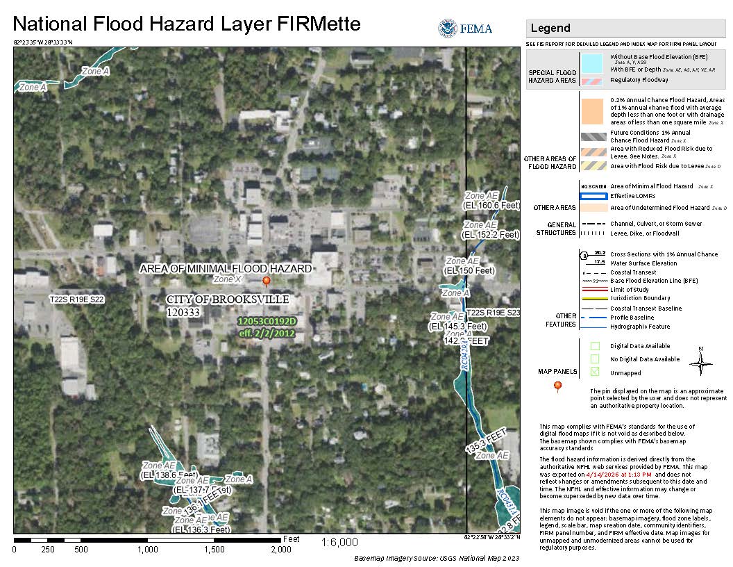
Check Flood Information

If the County does not have an EC on file and one is needed, a Florida-registered licensed surveyor, engineer, or architect can upload one of FEMA's most current EC please be sure that the Elevation Certificate is digitally signed.  Wet sealed Elevation Certificates must be brought into our office.

Click to upload a Digitally Signed Elevation Certificate

Hernando County joined the NFIP and started recording ECs in the early 70’s. If your home was built before the 70’s, we do not have an Elevation Certificate on file and your home was likely built below the design flood elevation of today’s floodplain management regulations. To obtain an EC you will need to reach out to a Florida-registered licensed surveyor, engineer, or architect. Please note that even if a structure has an EC showing that it is above the design flood elevation, or if the structure is in an “X” flood zone, a lender may still require the property owner to obtain a flood insurance policy.

Sign up to our Newsletter

Stay up to date on the county's activities, events, programs and operations by subscribing to our eNewsletters.